Point Cloud Modeling For BIM / MEP
We capture detailed information of surrounding in its 3D space and allow precise and accurate modeling, coordination. The converted scanned model provide valued information to architects and design firms to take informed design decision.
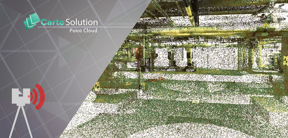
Scan to BIM Environment
We have completed several ground based LiDAR projects during renovation and extension stage for clients all around the world clients. Our Experience in GIS LiDAR data processing gives us wider understanding of LiDAR data. From our past successful projects we have developed our own processing technique and tool to fetch automatically required information and classification of Scanned data. With the help of 3D scanning of infrastructure we can build intelligent BIM/MEP service from scratch, point Cloud data is also very useful in restoration work. We have unique capability to combine LiDAR data and GPR Data (Ground penetrating Radar) to build a complete solution for Airports, Refineries, and Modeling of underground wires and pipes.
Offering for point cloud modeling:
- BIM models from LiDAR / GPR data
- Classification for parametric Revit modeling
- Renovation and budget plans
- Identification and Classification of underground pipes
- Automatic identification between MEP objects
- Merging of Airborne LiDAR, Ground Based LiDAR, and GPR Data
Inputs for Point Cloud based BIM Modeling
- Scan Plan with Number
- Scan Data (RCS)
- Photos or Videos of existing infra
- As-Built Drawings
- COBie data formats
- Element Labeling for Modeling
Deliverables
- 3D BIM Model Creation at LOD 400 Level for Renovation & Extension work
- As Built Drawing Preparation for Plan, Elevation & Section Sheet
- Construction Scheduling using 4D BIM for renovation and extension work
- Facility Management / COBie data for individual elements
Having a vast experience of working for several named projects in the global AEC industry. We are becoming leading LiDAR to BIM service provider, delivering point cloud modeling to our clients across the USA, UK, Europe, Australia and the Middle East.

Scan data matching for reverse engineering
The piping work in a plant construction project accounts for many portions of the critical paths, from the viewpoint of process control. Although plant construction projects need to deal with complex three-dimensional piping information, most companies rely on two-dimensional CAD drawings for construction and quality control, which frequently leads to significant problems, such as construction delay, and productivity decrease. More...